To use drone maps effectively, don’t accept them at face value. Verify data accuracy through ground-truthing or cross-checking with other sources, especially in challenging weather or terrain. Respect privacy laws and handle sensitive data carefully to maintain ethical standards. Always consider the limitations of the data, like resolution and date of collection, and stay informed about regulations. Continuing will help you learn how to evaluate drone maps critically and responsibly.
Key Takeaways
- Always verify drone map data with ground-truthing or supplementary sources before making decisions.
- Critically assess data quality, including resolution, collection date, and processing methods.
- Stay informed about relevant regulations and ensure compliance during data collection and usage.
- Maintain ethical standards by respecting privacy boundaries and handling sensitive information responsibly.
- Use drone maps as supportive tools, continuously validating and scrutinizing their accuracy and reliability.
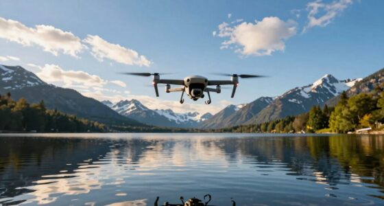
Drones have revolutionized how we gather and interpret geographic data, but simply capturing aerial images isn’t enough—you need to use those maps wisely. As you rely on drone maps for planning, research, or decision-making, it’s essential to remember that data accuracy plays a critical role in guaranteeing your conclusions are valid. Even with the latest technology, drone sensors and imaging equipment can produce errors or distortions, especially under challenging weather conditions or in complex terrains. It’s your responsibility to verify the data, cross-check measurements, and avoid making critical decisions based solely on unverified maps. Recognizing potential inaccuracies helps prevent costly mistakes, whether you’re managing a construction project or conducting environmental assessments.
Verify drone data and avoid relying solely on unverified maps to prevent costly mistakes.
Equally important are the ethical considerations tied to drone mapping. When collecting geographic data, you’re handling sensitive information that could impact communities, local ecosystems, or individual privacy. You must respect privacy boundaries and avoid capturing images that could infringe on personal rights. Ethical use involves transparent communication about your drone activities, especially if your maps might be shared publicly or used in legal contexts. Remember that data collected without consent or appropriate safeguards can lead to mistrust, legal issues, or harm to the subjects involved. Balancing the benefits of drone technology with respect for privacy and local regulations helps maintain integrity and public confidence.
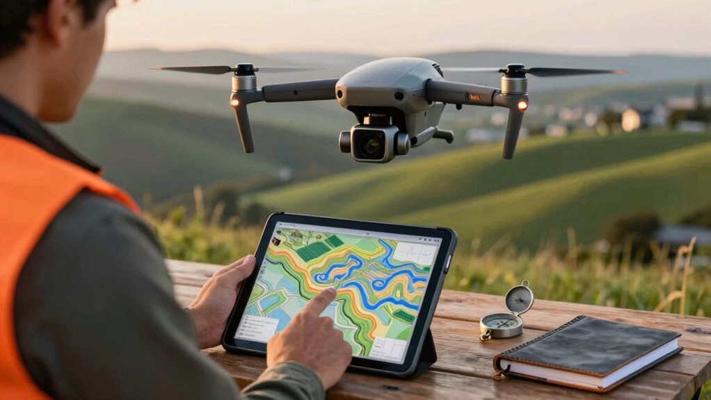
Using drone maps responsibly also means questioning the source and processing of the data. Not all drone data is created equal—some providers might offer outdated or low-resolution images, which can mislead your analysis. Always ask about the data’s collection date, resolution, and any processing steps that could affect its accuracy. Don’t assume that a high-quality map guarantees correctness; verify it with ground-truthing or supplementary data sources when possible. This cautious approach ensures your decisions are rooted in reliable information rather than assumptions. Additionally, understanding the accuracy of drone data and its limitations is crucial for making informed judgments and avoiding over-reliance on potentially flawed information. Staying aware of data quality factors, such as resolution and processing, helps you better interpret the maps’ reliability.
Furthermore, it’s wise to stay informed about evolving regulations governing drone use in your area. Compliance with local laws regarding altitude limits, privacy, and data sharing protects you from legal trouble and demonstrates responsible stewardship of drone technology. By combining a critical eye on data accuracy, adherence to ethical standards, and ongoing education about regulations, you can harness the power of drone maps effectively. This balanced approach allows you to make informed decisions that respect both the technology’s potential and the societal impacts it carries. Ultimately, using drone maps wisely means seeing them as tools to support your goals—tools that require careful validation, ethical mindfulness, and ongoing scrutiny.

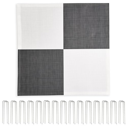
Sky High Bull's-Eye Drone Ground Control Point GCP – UAV Aerial Target for Mapping & Surveying (10 Pack) | Center Eyelet Numbered 0-9 (Black/White Markers) | Pix4D & DroneDeploy Compatible
24”x24” AERIAL TARGETS – Designed for low to medium altitude drone mapping and scanning, these drone GCPs were…
As an affiliate, we earn on qualifying purchases.
As an affiliate, we earn on qualifying purchases.
Frequently Asked Questions
How Accurate Are Drone Maps in Different Weather Conditions?
Drone maps’ accuracy varies with weather variability. Clear, stable conditions enhance mapping precision, while rain, fog, or strong winds can distort images and reduce accuracy. You should always check weather forecasts before flying, as adverse conditions can compromise data quality. By understanding how weather impacts mapping precision, you can plan better flights and interpret your drone maps more reliably, avoiding overreliance on potentially compromised data.
Can Drone Maps Be Relied on for Legal or Official Decisions?
You shouldn’t rely solely on drone maps for legal or official decisions—they can be as unreliable as a weather forecast in a storm. Legal implications demand high accuracy, which often requires thorough data verification and cross-referencing with traditional methods. Drone maps are valuable tools, but you must verify their data before making critical decisions, ensuring you’re not caught in a web of inaccuracies that could lead to costly legal troubles.
What Are Common Errors Found in Drone Mapping Software?
Common errors in drone mapping software often stem from improper software calibration or insufficient user training. You might notice distortions or inaccuracies if calibration isn’t precise. Additionally, without proper user training, you could misinterpret data or miss key details. To minimize these errors, make sure your software is correctly calibrated before flights and invest in thorough user training. This helps improve accuracy and reliability in your drone maps.
How Often Should Drone Maps Be Updated for Accuracy?
You should update drone maps regularly, ideally every few weeks or after significant project changes, to guarantee maximum accuracy. Consistent map update frequency helps capture new terrain features and correct any existing errors. This practice directly improves accuracy, allowing you to make better decisions. Don’t rely on outdated maps, even if they seem sufficient; frequent updates are essential for maintaining reliable, precise data in your drone mapping projects.
Are There Specific Industries Where Drone Maps Are Less Reliable?
In certain industries, like construction, drone maps may face reliability concerns due to rapid environmental changes. For example, a construction site might show outdated terrain after heavy rainfall, making the maps less reliable for planning. Industry limitations, such as poor GPS signals or weather conditions, can affect accuracy. Always cross-verify drone data with on-ground inspections to guarantee you’re not relying solely on potentially limited or less reliable drone maps.

G11PRO 6K Drone with Camera for Adults, 4K/30fps Video, 3-Axis Brushless Gimbal, 70mins Flight Time with 2 Batteries, 10000ft Long Range, FAA compliance, Professional Drone with Auto Return
【𝗜𝗡 𝗦𝗘𝗔𝗥𝗖𝗛 𝗢𝗙 𝗧𝗛𝗘 𝗜𝗗𝗘𝗔𝗟 𝗙𝗟𝗜𝗚𝗛𝗧, 𝗖𝗔𝗣𝗧𝗨𝗥𝗘 𝗬𝗢𝗨𝗥 𝗔𝗘𝗥𝗜𝗔𝗟 𝗠𝗢𝗠𝗘𝗡𝗧𝗦】Are you spending more for better aerial footage or…
As an affiliate, we earn on qualifying purchases.
As an affiliate, we earn on qualifying purchases.
Conclusion
So, next time you rely on drone maps, remember—they’re not infallible. It’s ironic, really—you trust these high-tech tools to guide you, yet a tiny error can lead you astray. Don’t let the breathtaking visuals fool you into blind trust; always verify with ground checks or local insights. After all, in the world of drones, *trust but verify* isn’t just advice—it’s survival. Stay cautious, and enjoy the view without losing your way.
Sky High Bull's-Eye (24"x24") Degradable Drone Ground Control Point GCP with 30 Staples (Black/White Checkerboard) | Aerial Targets for Drone Mapping & Surveying | Compatible with DroneDeploy & Pix4D
DEGRADABLE GCPS – Ideal for remote ground control points, our burlap GCPs are degradable so that you can…
As an affiliate, we earn on qualifying purchases.
As an affiliate, we earn on qualifying purchases.

Holy Stone FAA Compliant Remote ID Module for Drone, Broadcast Module with Strobe Light and Buzzer, Waterproof GPS Tracker, 4 Hours Battery Life, Spare Parts for FPV Drone & RC Aircraft
【FAA Compliance】Easily meets FAA requirements for drones over 250 g (0.55 lb). This RID module replaces bulky add‑on RID…
As an affiliate, we earn on qualifying purchases.
As an affiliate, we earn on qualifying purchases.