Drones have transformed archaeology by helping you quickly survey sites and find hidden structures from the sky. They capture high-resolution images and create detailed 3D models, revealing areas that are hard to access. Using advanced sensors like thermal and multispectral cameras, you can detect buried features and map landscapes accurately. By following safety rules and legal guidelines, you’ll uncover new insights about ancient landscapes. Keep exploring to discover more ways drones enhance archaeological discoveries.
Key Takeaways
- Drones provide high-resolution aerial imagery and 3D models to reveal inaccessible or hidden archaeological features.
- Aerial mapping with drones uncovers overlooked site layouts and underground structures through topographical and orthomosaic data.
- Advanced sensors like multispectral and thermal imaging detect buried artifacts and soil variations invisible to the naked eye.
- Drone surveys enable quick, cost-effective exploration, reducing fieldwork time while increasing accuracy and data coverage.
- Proper regulation and ethical practices ensure safe, responsible use of drones for uncovering archaeological sites.
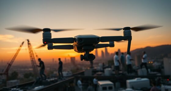
Drones have revolutionized archaeology by providing a quick, cost-effective way to survey and document sites from the air. With their ability to capture high-resolution images and create detailed 3D models, they allow you to explore areas that are difficult to access on foot or by traditional means. By employing advanced aerial mapping techniques, you can uncover hidden features and gain new insights into archaeological landscapes. However, while drones offer remarkable benefits, ensuring drone safety remains a top priority. You need to be aware of local regulations, avoid flying in restricted zones, and maintain a safe distance from people and wildlife. Proper training on drone operation minimizes accidents and helps you navigate complex terrains confidently.
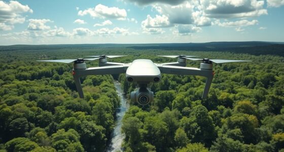
Using aerial mapping techniques, you can generate accurate topographical maps, orthomosaics, and volumetric data that reveal subtle features often missed on the ground. These techniques involve capturing overlapping images from multiple angles, which are then stitched together using specialized software. This process not only enhances your understanding of site layouts but also helps in identifying potential excavation spots or preservation concerns. When planning your drone flights, it’s vital to consider weather conditions; wind, rain, or low visibility can compromise both safety and data quality. Conducting pre-flight checks on your drone’s battery, sensors, and GPS system ensures everything functions smoothly during your survey.
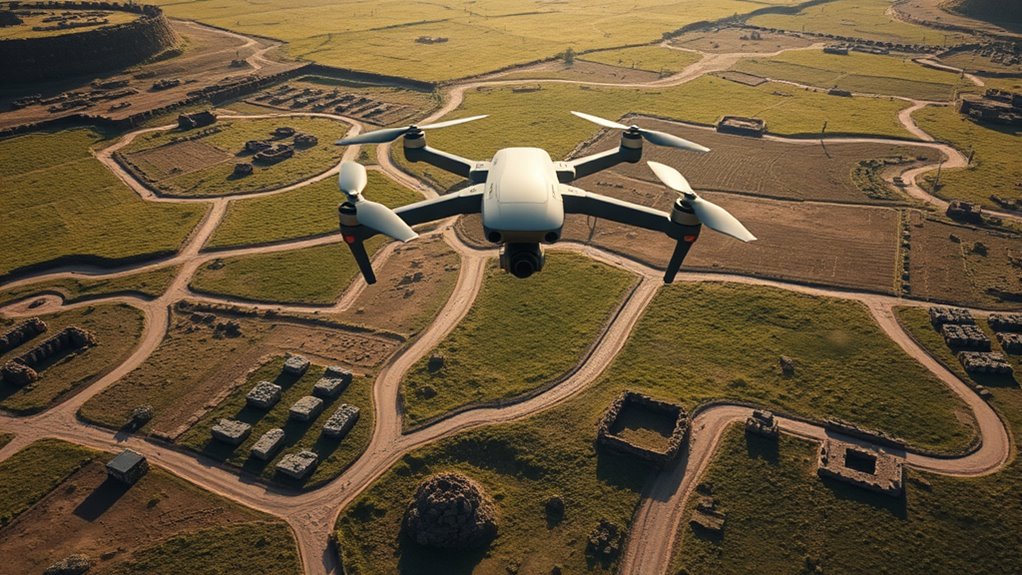
The integration of thermal imaging and multispectral sensors further expands what you can discover from the air. These tools detect variations in soil composition, moisture levels, or vegetation health, revealing buried structures or features that are otherwise invisible. As you become more familiar with aerial mapping techniques, you’ll find that drones can streamline your workflow, reduce fieldwork time, and increase the accuracy of your findings. Remember, maintaining drone safety isn’t just about avoiding crashes; it’s also about respecting cultural heritage and protecting the environment. Always adhere to legal guidelines, obtain necessary permits, and prioritize ethical considerations during your surveys. Additionally, energy-efficient drone technology can help reduce operational costs and environmental impact for extended archaeological projects.
Frequently Asked Questions
How Do Drones Impact Archaeological Site Preservation?
Drones positively impact archaeological site preservation by allowing you to monitor sites efficiently, reducing physical disturbance. However, you need to respect drone privacy and adhere to aerial photography regulations to avoid legal issues. By following these rules, you can capture detailed images from above without damaging fragile structures or disturbing local communities, ultimately helping you preserve archaeological heritage while utilizing innovative drone technology.
What Are the Legal Considerations for Drone Use in Archaeology?
You need to understand legal regulations and permission requirements before using drones in archaeology. Make sure you comply with local, national, and international laws governing drone flights, including obtaining necessary permits. Check if you need approval from heritage or environmental authorities, and respect privacy laws. Failing to follow these legal considerations can lead to fines or confiscation, so always verify permissions and regulations before deploying your drone for archaeological work.
Can Drones Detect Underground Archaeological Features?
Yes, drones equipped with ground-penetrating radar and thermal imaging can detect underground archaeological features. You operate these drones to scan large areas quickly, capturing data that reveals buried structures or artifacts. The ground-penetrating sensors send signals below the surface, while thermal imaging detects temperature differences caused by buried features. This technology allows you to identify hidden sites without extensive excavation, saving time and resources in archaeological research.
How Do Drones Compare to Traditional Archaeological Surveying Methods?
You find that drones excel in remote sensing, offering faster and more thorough surveys than traditional methods. They provide high data accuracy, capturing detailed aerial imagery and multispectral data that reveal hidden features. Unlike ground surveys, drones cover large areas quickly, reducing time and costs. While traditional methods are still valuable for detailed excavation, drones enhance initial site detection and mapping, making your archaeological work more efficient and precise.
What Are Future Technological Advancements for Drones in Archaeology?
Future advancements in drones for archaeology include autonomous navigation, allowing you to explore difficult terrains without manual control, and enhanced imaging technology like multispectral and LiDAR sensors. These innovations will help you capture more detailed, accurate site data faster and with less effort. Expect drones to become smarter and more capable, enabling you to uncover hidden archaeological features and artifacts that were previously inaccessible or overlooked.
Conclusion
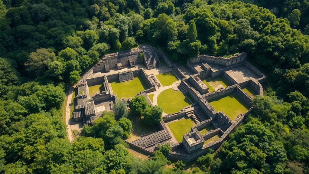
Imagine flying over ancient ruins with a bird’s-eye view, revealing secrets hidden for centuries. Drones have become your archaeologist’s best friend, uncovering sites that once seemed lost to time. Just last year, a drone spotted a buried temple in the jungle, transforming it from a mystery into a well-preserved site. With each flight, you uncover more stories of the past, proving that sometimes, the sky truly holds the key to our history.