TL;DR

Get the latest gadgets delivered free with Prime
- Fast, free delivery on millions of items
- Prime Video, Amazon Music and more included
- Member-only deals all year
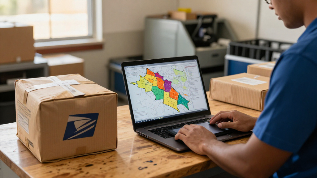
The U.S. Postal Service is offering a national ZIP Code boundary dataset as polygons derived from USPS delivery-address and location information. Three product tiers are listed, each with four quarterly updates, but the available description does not provide pricing, file formats or detailed distribution terms.
The U.S. Postal Service is offering a national dataset of ZIP Code boundary polygons built from USPS delivery-address and location information, giving organizations an official source they can use to map delivery areas and update existing ZIP Code data. USPS lists three product tiers, each with four quarterly updates, with different distribution limits.
USPS describes the dataset as a national ZIP Code map intended to provide boundaries using its delivery and location information. The agency says those boundaries can change as delivery distribution shifts when locations are added or changed. The page identifies industries that could use the data, including mapping, mailing, marketing, insurance, real estate, logistics, navigation and transportation.
The PostalPro listing names Internal, Enterprise and Publication versions. Each is described as receiving four quarterly updates. The Enterprise tier has limited distribution to subsidiaries and partner companies; the Publication tier has limited publication. The source page does not spell out comparable distribution rules for the Internal tier.
USPS says users may use the polygons as a reference for ZIP Code boundaries, combine them with other map features or correct existing ZIP Code data as changes occur. It also describes uses for organizing and displaying demographic information and grouping delivery locations to support routing. Those are potential applications described by USPS, not independently verified performance claims.
A Postal Data Source for Mapping
ZIP Codes are widely used to sort, display and analyze location-based information, but organizations may need geographic shapes to put those codes on a map or connect them to other datasets. An official polygon dataset gives users a USPS-derived reference for representing delivery-based ZIP Code areas, rather than relying solely on boundary files from other providers. That could matter to businesses and public-facing services that use ZIP Codes for coverage maps, demographic displays or logistics planning.
The quarterly update schedule also signals that the boundaries are not presented as permanently fixed. USPS says they can fluctuate with changes in delivery distribution, so organizations using them may need to account for revisions over time. The three tiers may affect which users can share or publish the data, although the listing provides only limited detail about those conditions.
Products Worth Considering

Sony WH-1000XM6 Wireless Noise-Canceling Headphones, Black

Amazon Kindle Scribe (3rd Generation), 64GB, 11-inch Display, Graphite, with Premium Pen

Logitech MX Mechanical Wireless Illuminated Full-Size Keyboard, Clicky
As an affiliate, we earn on qualifying purchases.
Boundaries Follow Delivery Changes
The USPS description ties its boundary map to delivery addresses and locations, rather than presenting ZIP Codes as unchanging administrative borders. It says temporal fluctuation reflects changes in delivery distribution when delivery locations are new or changed. This matters for interpreting the polygons: they are described as a representation of USPS delivery geography, and users should not assume the shapes remain static between updates.
The listing frames the dataset as useful both for correcting existing ZIP Code map data and for using ZIP Codes as a structure for other information. It specifically names demographic organization, real estate and insurance displays, and delivery-location groupings for routing. These examples explain USPS’s intended use cases, but the source does not provide validation results, accuracy measurements or comparisons with other boundary products.
“USPS ZIP Code Boundaries is a national ZIP Code map utilizing USPS delivery address and location information to ensure accurate boundaries.”
— USPS PostalPro product description
Access Terms and Data Specs
The available USPS description does not state pricing, purchase or download procedures, file formats, coordinate systems, licensing terms or a specific update calendar. It also does not explain the detailed distinction between the Internal and other tiers, beyond naming them and listing quarterly updates. The scope of the Enterprise and Publication limits is described briefly, without defining permitted users, publication channels or exceptions.
USPS says the map is intended to provide accurate boundaries, but the cited listing gives no measurement method or accuracy figures. It is also unclear how quickly a delivery-location change appears in a subsequent quarterly release, or whether updates include historical versions. Readers and prospective users should consult USPS for the current product documentation and terms before relying on the dataset for a particular application.
Check Current Product Conditions
The next practical step for organizations interested in the polygons is to review the current USPS PostalPro product information and confirm eligibility, pricing, delivery format and permitted use for the relevant tier. Users should also establish how they will apply quarterly revisions to their maps or systems, particularly where distribution rights or published outputs are involved.
USPS lists four updates per year for all three versions, but the source page does not identify release dates or describe a change log. Those details, along with technical specifications and fuller licensing conditions, will determine how readily users can integrate the data and keep derived maps current.
Key Questions
What has USPS made available?
USPS lists a national ZIP Code boundary polygon dataset based on its delivery-address and location information.
How often are the boundaries updated?
The PostalPro listing says the Internal, Enterprise and Publication versions each receive four quarterly updates. It does not give specific release dates.
Who can use the data?
USPS names potential users across mapping, mailing, marketing, insurance, real estate, logistics, navigation and transportation. The listing describes limited distribution for Enterprise and limited publication for the Publication tier; full eligibility and licensing terms are not provided in the source material.
Do ZIP Code boundaries stay fixed?
Not according to USPS’s description. It says boundaries can fluctuate as delivery distribution changes with new or changed delivery locations.
Are technical specifications and prices published?
The cited PostalPro description does not state pricing, file formats, coordinate systems or detailed purchase terms. Prospective users would need to check with USPS for current product documentation.
Source: postalpro.usps.com