
TL;DR

Get the latest gadgets delivered free with Prime
- Fast, free delivery on millions of items
- Prime Video, Amazon Music and more included
- Member-only deals all year
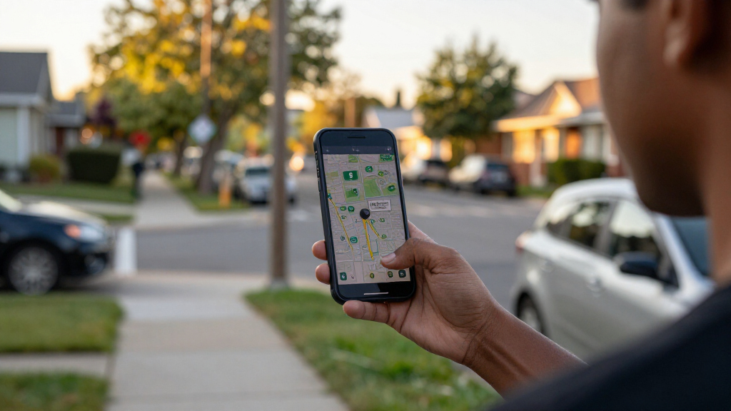
MapQuest has added an optional app layer showing known outdoor surveillance cameras and license plate readers, including Flock devices and products from several other manufacturers. The map may help users see where reported cameras are located, but the source report does not specify how complete or frequently updated the listings are.
MapQuest has added an optional map layer showing known outdoor surveillance cameras and license plate readers, including Flock cameras, giving app users a way to view reported camera locations around their neighborhoods and routes. The feature matters to residents tracking local surveillance infrastructure, though MapQuest’s reported listing should not be assumed to show every camera or provide a complete picture of where monitoring occurs.
The layer includes cameras from Flock and other manufacturers, including Motorola Solutions’ Vigilant, Genetec, Axis Communications, Axon, Leonardo’s ELSAG, Neology, Rekor, PlateSmart, Ubicquia and Verkada. MapQuest places the option alongside existing map layers for traffic and incidents, according to Engadget’s report.
MapQuest announced the update in a short video, the report said. Users can turn on the camera layer in the app to see known locations displayed on the map. The source does not describe the underlying data collection process or say whether the locations are verified by MapQuest, supplied by camera operators, or drawn from another source.
The feature is a map display, not a route-planning tool that promises to avoid surveillance equipment. Engadget noted that users may not be able to easily avoid cameras on regular routes. The layer may instead help people understand the reported distribution of cameras in an area and support residents seeking information about surveillance devices near their homes.
A Local View of Camera Coverage
Showing camera locations on a familiar map can make scattered information about local surveillance infrastructure easier to see. Residents can use the display to identify reported devices near streets they travel, compare locations across a neighborhood, or inform discussions about whether cameras should be installed or removed.
The map may also help people understand that license plate readers and other outdoor cameras can be present beyond the most visible public facilities. That visibility is potentially useful for community groups and residents asking local officials or camera operators about where devices are placed, what information they collect, and how it is used. Those questions are not answered by a location marker alone.
For that reason, the layer is best understood as a reference rather than a definitive inventory. A displayed location does not by itself establish whether a device is active, what it records, who can access its data, or how long information is retained. The reporting does not say that MapQuest provides those operational details.
As an affiliate, we earn on qualifying purchases.
MapQuest’s Recent App Changes
The camera layer is the latest in a series of changes that have brought renewed attention to MapQuest. Engadget reported that the app’s popularity rose after MapQuest did not rename Lake Ontario as “Lake America,” unlike Google Maps and Apple Maps. The report also cited recent additions of Android Auto support and public transit directions.
The new layer extends the app’s map options beyond navigation and travel conditions to include a view of known surveillance cameras. It covers multiple camera and license plate reader brands, rather than only Flock products. The source report does not provide a launch date, a list of geographic areas covered, or a description of how often camera locations are refreshed.
“The layer will show you where Flock cameras are.”
— Engadget’s report
As an affiliate, we earn on qualifying purchases.
Coverage and Data Sources
The source report does not say how camera locations are gathered, who verifies them, or how often MapQuest updates the layer. It also does not state how many locations are listed, how much of the country or which neighborhoods are covered, or whether users can report missing or incorrectly placed cameras.
It remains unclear whether a marker represents a currently operating camera, a device known to have been installed, or another status. The available information also does not establish whether the layer includes every outdoor camera or only selected systems and locations. Readers should treat the display as known locations shown by the app, not as a complete inventory or proof of camera activity.
As an affiliate, we earn on qualifying purchases.
What Users Can Check in App
MapQuest users can look for the camera option among the app’s map layers, alongside traffic and incident views. The source report does not identify a rollout schedule or say whether the feature is available to all users, so availability may need to be checked in the app itself.
Further details that would clarify the layer’s usefulness include MapQuest’s data sources, its process for correcting location errors, and the geographic scope and update schedule. Until those details are provided, users and local groups can use the map as a starting point for questions about nearby cameras, while seeking confirmation from relevant local authorities or operators.
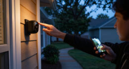
surveillance camera with night vision
As an affiliate, we earn on qualifying purchases.
As an affiliate, we earn on qualifying purchases.
Key Questions
What does MapQuest’s new camera layer show?
It displays known outdoor surveillance cameras and license plate readers, including devices made by Flock and several other manufacturers, according to the report.
Does the map show only Flock cameras?
No. The report lists Flock alongside products from companies including Motorola Solutions’ Vigilant, Genetec, Axis Communications, Axon, Leonardo’s ELSAG, Neology, Rekor, PlateSmart, Ubicquia and Verkada.
Does the layer show every camera in a neighborhood?
That is not established. The report describes known camera locations but gives no coverage figures, verification method, or guarantee that the list is complete.
Can users use the map to avoid cameras?
The layer shows locations, but the report does not say it provides camera-avoiding directions. Engadget noted that avoiding cameras on regular routes may not be easy.
How often are the camera locations updated?
The source report does not specify an update schedule or explain how MapQuest obtains and checks location information.
Source: fediverse
Fall Picks
fall essentials
As an affiliate, we earn on qualifying purchases.