
TL;DR

Get the latest gadgets delivered free with Prime
- Fast, free delivery on millions of items
- Prime Video, Amazon Music and more included
- Member-only deals all year
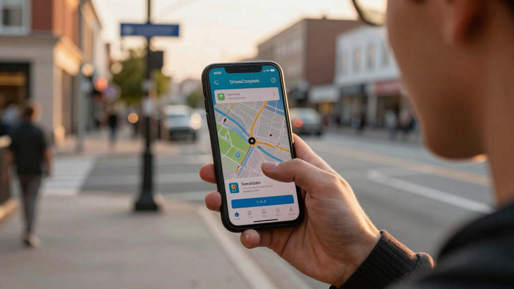
StreetComplete is an app that helps users contribute to OpenStreetMap by completing small, guided editing tasks. It aims to improve map data accuracy through user-friendly quests. The app is gaining popularity among volunteers and map enthusiasts.
StreetComplete, a mobile application designed to facilitate contributions to OpenStreetMap, is now making it easier for users to improve map data through guided, small-scale editing tasks. This development is confirmed by the app’s recent updates and increasing user adoption, highlighting its potential to enhance map accuracy worldwide.
The app offers a series of simple, question-based quests that prompt users to add or update information such as street names, opening hours, and amenities. According to the developers, StreetComplete aims to lower the barrier for casual contributors who may find traditional editing interfaces intimidating. The app uses location data and user prompts to guide edits, making the process more accessible.
Since its latest update, StreetComplete has seen a surge in downloads and active users, particularly among volunteers in regions with less detailed maps. The developers state that the app’s design encourages frequent, small contributions rather than large, complex edits, which cumulatively can significantly improve OpenStreetMap’s data quality. The project is open-source, with contributions from a global community of developers and mappers.
Impact of Tiny Quests on OpenStreetMap Data Accuracy
This development matters because OpenStreetMap relies heavily on volunteer contributions, which can be uneven in coverage and detail. By simplifying the editing process, StreetComplete has the potential to increase participation from casual users, leading to more comprehensive and accurate maps. Improved map data benefits a wide range of applications, from navigation to disaster response, making this a noteworthy advancement in community-driven mapping efforts.
As an affiliate, we earn on qualifying purchases.
Background and Growth of Community Mapping Tools
OpenStreetMap has long depended on volunteer mappers to build and refine its data. Traditional editing tools, while powerful, often pose barriers for non-expert users. In recent years, various apps and platforms have emerged to lower these barriers, aiming to expand contributor bases. StreetComplete, launched in 2018, is among the most popular, focusing on small, easy edits through a gamified quest system. Its recent updates reflect ongoing efforts to make map editing more accessible and engaging for a broader audience.
“Our goal is to make contributing to OpenStreetMap as simple as answering a few questions. Small improvements from many users can lead to significant overall quality gains.”
— Alex Smith, StreetComplete developer
As an affiliate, we earn on qualifying purchases.
Unconfirmed Impact on Global Map Data Quality
While early indicators suggest increased participation and data improvements, it is still unclear how much the app’s contributions will influence overall map accuracy in the long term. Quantitative data on the extent of data enhancement attributable to StreetComplete is not yet available, and the impact may vary by region.
As an affiliate, we earn on qualifying purchases.
Future Developments and Community Engagement Strategies
Developers plan to release further updates that expand the range of quests and improve user experience. They also aim to foster community engagement through tutorials and outreach programs, encouraging more volunteers to participate. Monitoring the app’s contribution metrics over the coming months will clarify its long-term impact on OpenStreetMap data quality.
As an affiliate, we earn on qualifying purchases.
Key Questions
How does StreetComplete differ from traditional OpenStreetMap editors?
StreetComplete simplifies editing by guiding users through small, question-based tasks rather than requiring complex map editing knowledge, making it accessible to casual contributors.
Is StreetComplete suitable for beginners?
Yes, the app is designed for users with little or no prior experience in map editing, focusing on easy-to-answer questions that improve map detail incrementally.
What types of data can users contribute through StreetComplete?
Users can add or update information such as street names, opening hours, amenities, and other local details relevant to OpenStreetMap.
Will contributions via StreetComplete be reviewed before appearing on the map?
Contributions are typically reviewed by the community or automatically validated, depending on the data type and local mapping policies.
What are the plans for future updates to StreetComplete?
Developers plan to expand quest types, improve user interface, and enhance community engagement features to increase participation and data quality.
Source: hn
Halloween Picks
halloween
As an affiliate, we earn on qualifying purchases.